How to Measure River Water Level?

Table of Contents

Rivers are the core source of water for agricultural irrigation, industrial use, and residential life. Together with lakes, they maintain the balance of freshwater resources. The rise and fall of river water levels are not directly controlled by human intervention. Therefore, real-time monitoring of water level changes is of paramount importance and a prerequisite for the stable operation of urban lifelines.

This article will detail various methods for measuring river water levels. Hopefully, this will help you make informed decisions.

What is the River Water Level?

River Water level refers to the elevation of the water surface at a certain point in a river above a certain datum. The datum is a fixed zero point from which elevation is calculated. There are two types of datums. One is the absolute datum, which uses the mean sea level at the river’s mouth as its zero point.

Because the terrain gradually rises from the river mouth to the source, the water level difference between upstream and downstream is significant. Calculating water levels using the absolute datum is very cumbersome. Therefore, the station datum is often used in water level observation. A hydrological station datum is a fixed reference surface used specifically for hydrological stations. It uses a point 0.5-1 meter below the historical lowest water level as the zero point for calculating the water level.

When the station datum is connected to a national benchmark, the height difference between the station datum and the absolute datum can be calculated. It allows the conversion of the water level expressed on the station datum to the water level expressed on the absolute datum.

Ultrasonic level meters measure lake hydrological conditions

Why is Measuring River Water Level Important?

River water level monitoring is the cornerstone of hydrological information systems.

In flood control and drought relief, river water level monitoring can provide timely warnings of floods exceeding standard levels, buying valuable time for emergency response planning and implementation. It can effectively mitigate disaster losses.

In the optimal allocation of water resources, accurate river water level data can ensure the water needs for production and daily life. It can promote the sustainable use of water resources.

Furthermore, changes in river water levels are related to the health of the aquatic ecological environment. It can provide important data for ecological restoration and protection. In short, river water level monitoring is a core component of hydrological information systems. It also ensures water supply and promotes the efficient use of water resources. It can maintain the balance of the aquatic ecosystem.

River water level measurement has the following main functions:

  • Flood Warning: By monitoring river water level in real time, early warnings of floods can be issued. It provides relevant departments and residents with time to take countermeasures.
  • Water Resource Management: Water level monitoring systems help managers understand the hydrological conditions of rivers. It includes parameters such as water level, flow rate, and water quality. It has better managed the allocation and utilization of water resources.
  • Environmental Protection: Monitoring river water level changes helps assess the ecological status of rivers. It can identify and address water environment problems. It can protect the ecosystem.

Water level fluctuations, ultrasonic water level meters measure river water

Methods of River Water Level Measurement:

Traditional river level monitoring relies on manual measurement. Our staff go to the riverbank to take measurements by themselves. This method is not only inefficient but also inaccurate. Through continuous development, modern electronic monitoring methods with high precision, automation, and wide adaptability have gradually emerged. These are now widely used in water resource management.

Sino-Inst, based on its daily project experience and various application scenarios, introduces and summarizes water level monitoring methods and selection for your reference.

An ultrasonic level meter is a non-contact measuring device. Its maximum measuring range is 20m. It measures water level by emitting and receiving ultrasonic pulses. It eliminates the need for direct contact with the water. This method effectively avoids direct contact between the sensor and impurities and corrosive substances in the water. The non-contact measurement method improves the lifespan and reliability of the equipment.
Ultrasonic level meters are always used in measuring water levels in rivers, lakes, reservoirs, canals, and various hydraulic structures.

A portable ultrasonic depth meter can measure depths up to 300m. An ultrasonic depth meter is a depth-measuring instrument used to measure the depth of water in reservoirs, lakes, rivers, and shallow seas. When we measure depth, the ultrasonic transducer is placed at a fixed position on or in the water. The instrument automatically calculates the current water depth using the principle of ultrasonic wave propagation in water. This instrument adopts internationally advanced technology and has complete depth measurement, control, data transmission, and human-machine interaction functions.

A radar level meter is an advanced water level monitoring device. It can measure river water depths up to 150m. It uses the principle of radar wave reflection to measure the water level. Features include a large range, low power consumption, high accuracy, high stability, and a small beam angle. Radar level meters are unaffected by temperature, pressure, humidity, and wind speed. They are widely used in water level monitoring projects for reservoirs, lakes, rivers, and canals. They are mostly used in high-temperature, high-pressure, and highly corrosive installation environments.

Submersible level meters are a common type of water level monitoring device. The measuring depth of submersible level meters is approximately 200m. We can also customize measuring depths up to 2000m if needed. They primarily calculate water level by measuring water pressure. They feature high accuracy, good stability, strong adaptability, and ease of operation. They are widely used in water level monitoring of reservoirs, rivers, and lakes.

Types of water level metersAdvantagesDisadvantages
Ultrasonic water level meterNon-contact type, easy to install;
wide range of applications;
Affected by temperature, humidity, and air pressure; limited measuring range
Radar water level meterNon-contact type, easy to install;
high precision;
unaffected by environmental factors such as temperature, humidity, and airflow;
Susceptible to obstructions
Submersible water level meterLow cost;
strong stability in water,
unaffected by water surface fluctuations;
Susceptible to impurities and corrosive substances in water

Read More about:

Radar Level Transmitter Vs Ultrasonic Level Transmitter—for Level Measurement

Hydrostatic Pressure Transmitter-Level Measurement with Pressure Sensors

Submersible Level Transmitter – Level & Pressure Measurement

Open Channel Flow: Concept and Measurement Scheme

Radar Level Transmitter and Guided Wave Radar Level Transmitter: The Real Difference

Radar Level Transmitter Vs Ultrasonic Level Transmitter—for Level Measurement

Sino-Inst Featured River Water Level Meter

FMW21 80GHz Radar Level Transmitters
Radar water level sensor 0.05m~35m~65m~120m
Handheld Portable Ultrasonic Water Depth sensor
Handheld-Portable Ultrasonic Water Depth Gauge/Sensor
Universal Ultrasonic Level Sensor
Universal Ultrasonic Level Sensor 0-15m
Submersible level transmitter
Submersible Level Transmitter | Hydrostatic Sensor
Deep Well Water Level Sensor
Deep Well Water Level Sensor 2000m

River Water Level Monitoring Systems

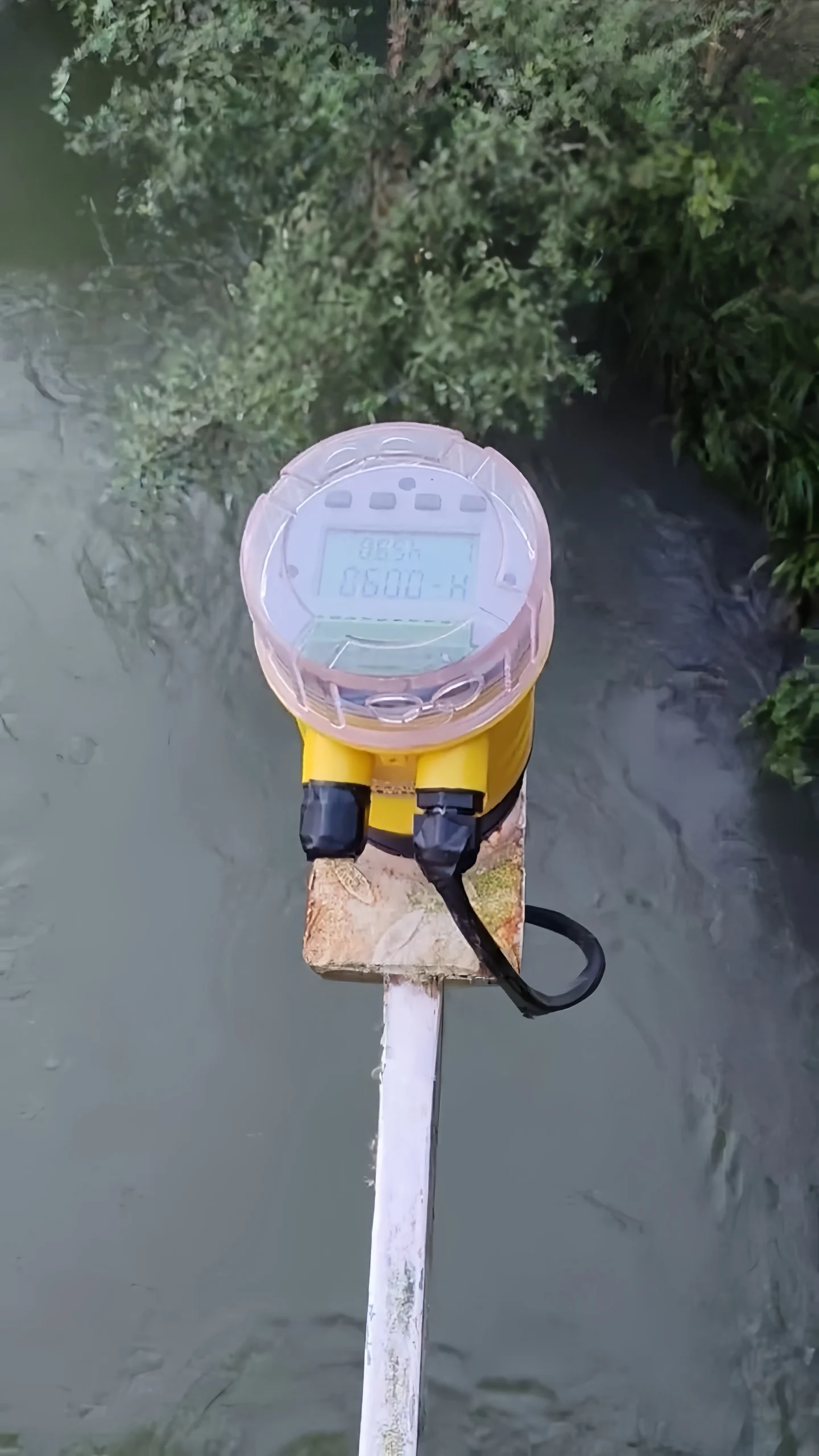
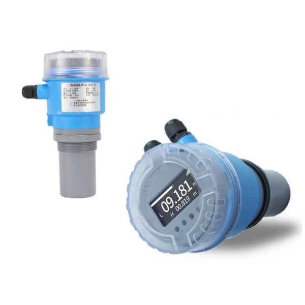
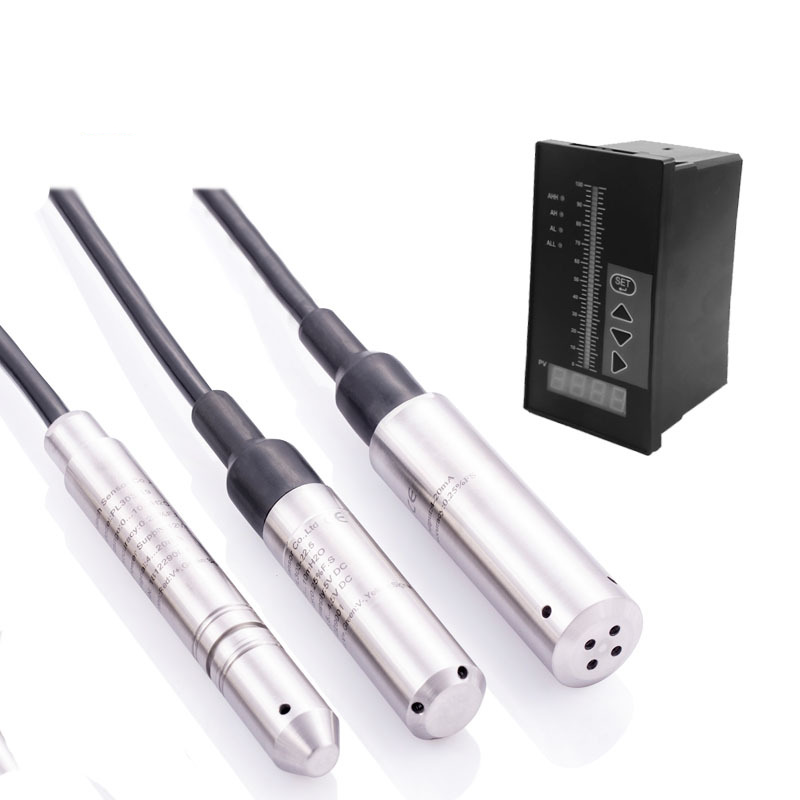
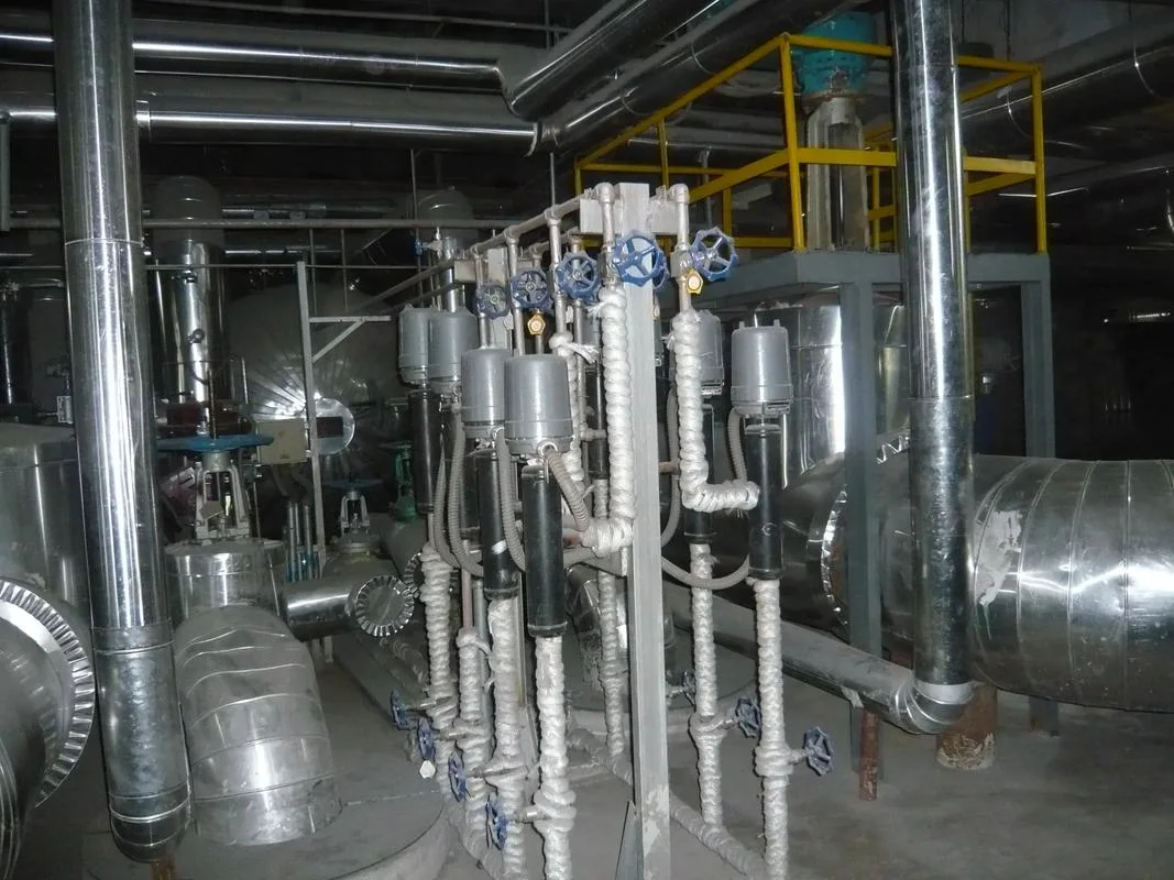
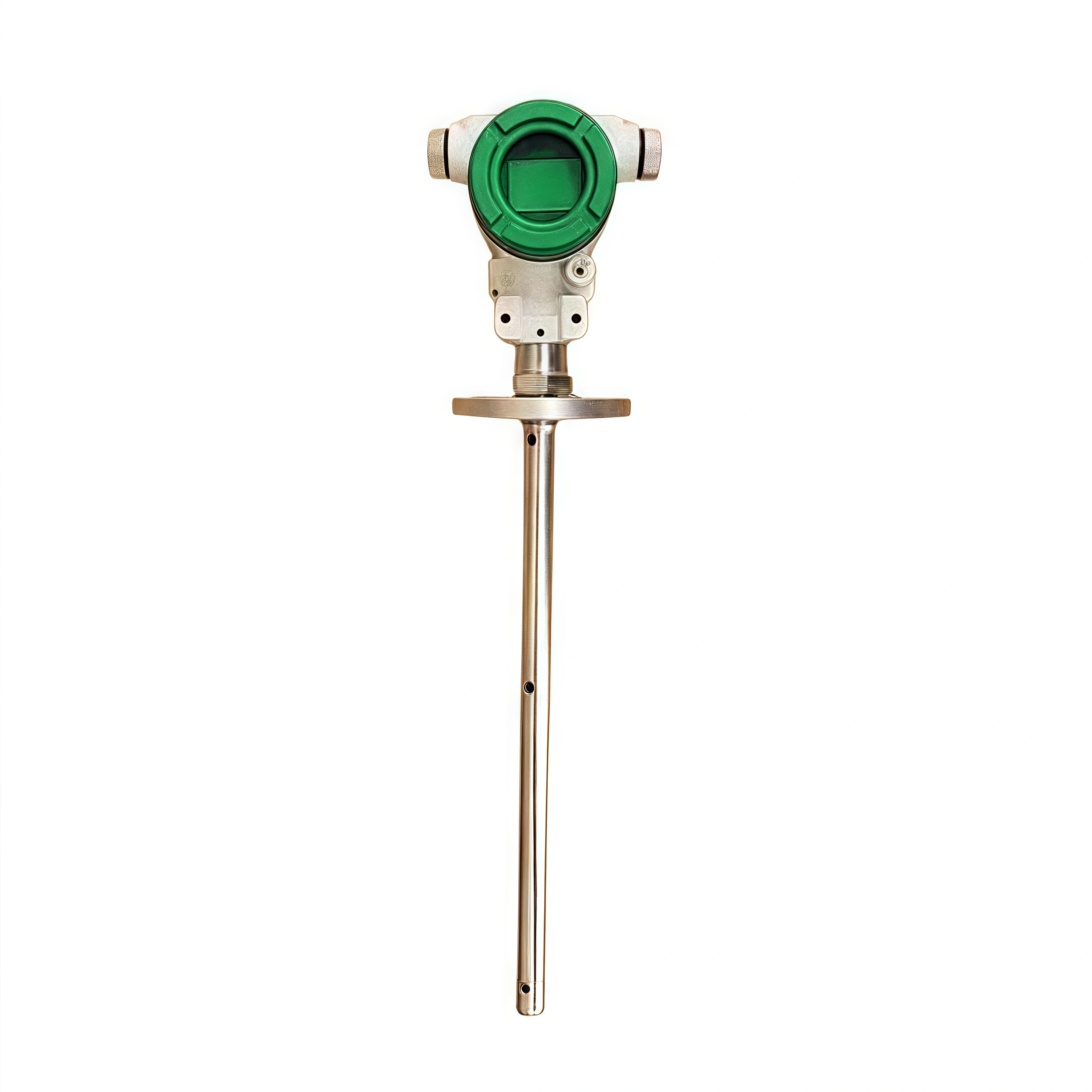
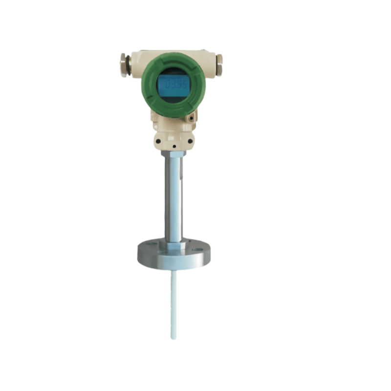
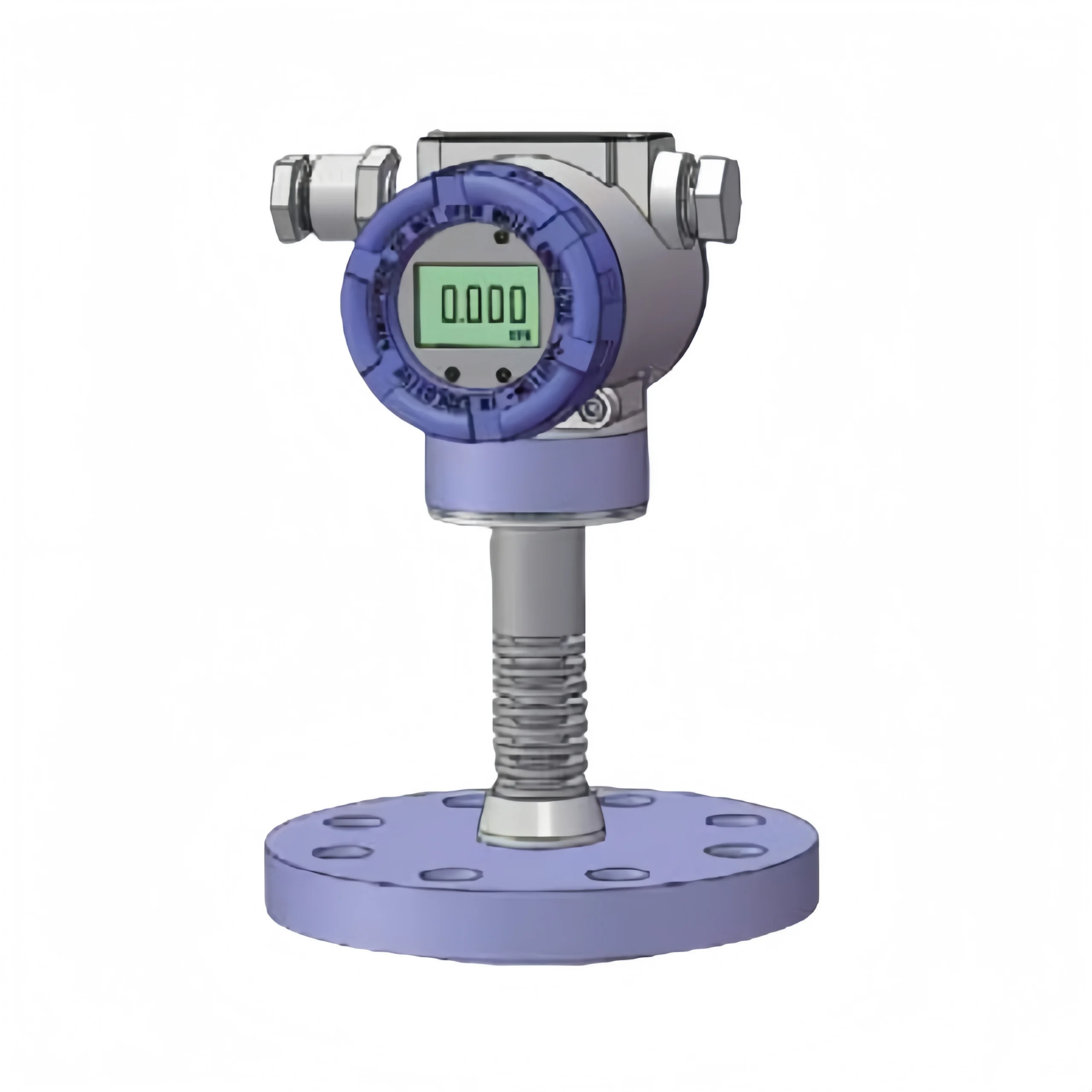
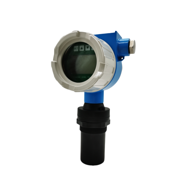
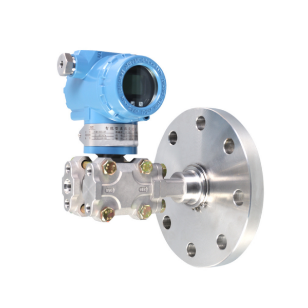
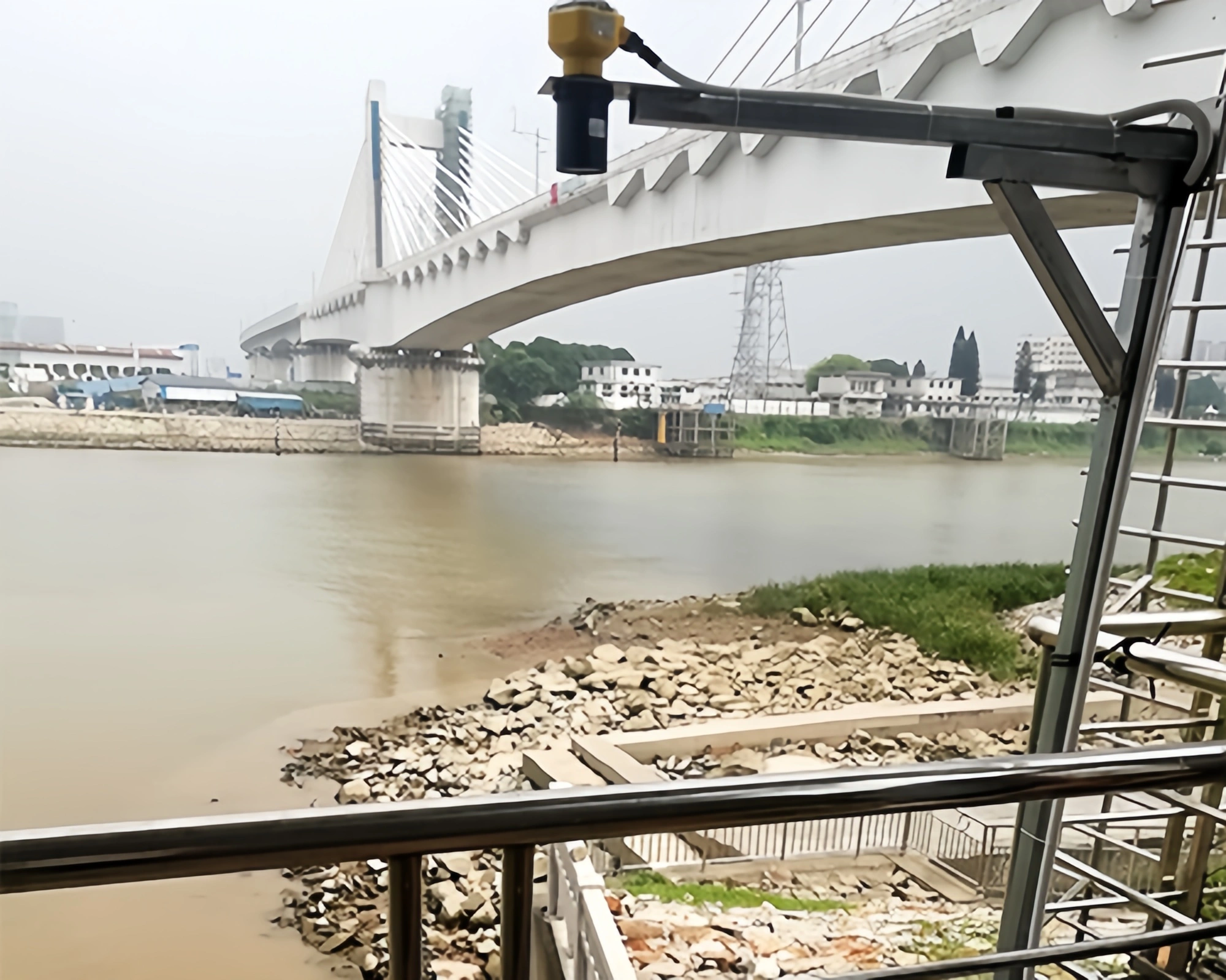
River water level monitoring systems are based on components such as water level sensors and paperless recorders. The system acquires water level data by measuring the distance between the water level sensor and the water surface. Sensors can employ various technologies, such as radar sensors, pressure sensors, or ultrasonic sensors. Paperless recorders receive and record sensor measurement data and transmit it to data centers or monitoring stations.

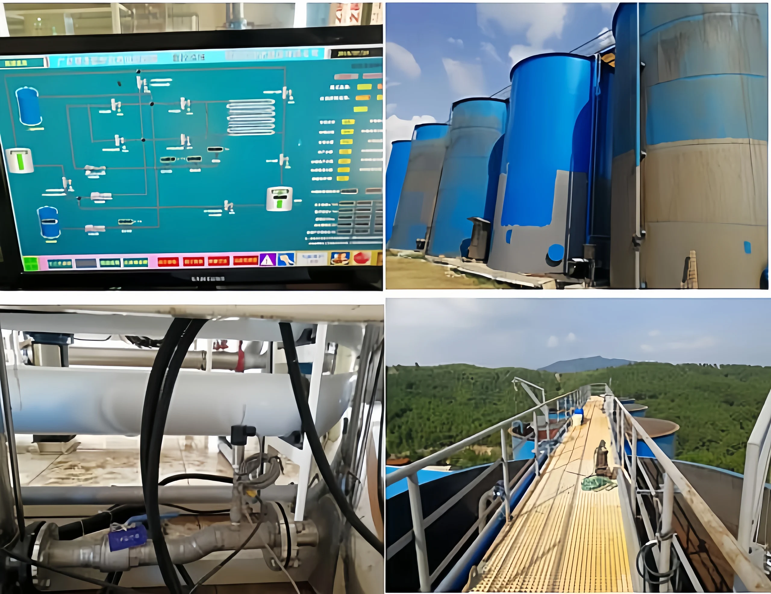
The river water level monitoring system can monitor river water levels in real time and with high accuracy. The system is a non-contact measurement and remote maintenance. A multi-communication transmission architecture ensures reliable data transmission. The powerful central management platform provides perfect data support for flood control solutions. With continuous technological advancements, the intelligent river water level monitoring system will further integrate these advanced technologies to achieve more accurate river water level prediction and more scientific river water level management.

Advantages of the river water level monitoring system:

  • Comprehensive and accurate monitoring;
  • Intelligent and efficient management;
  • Flexible and reliable deployment;
  • Significant overall benefits.

Ultrasonic level switch integrated control system

Comparison of Water Level Measuring Methods in Rivers, Lakes, and Deep Wells

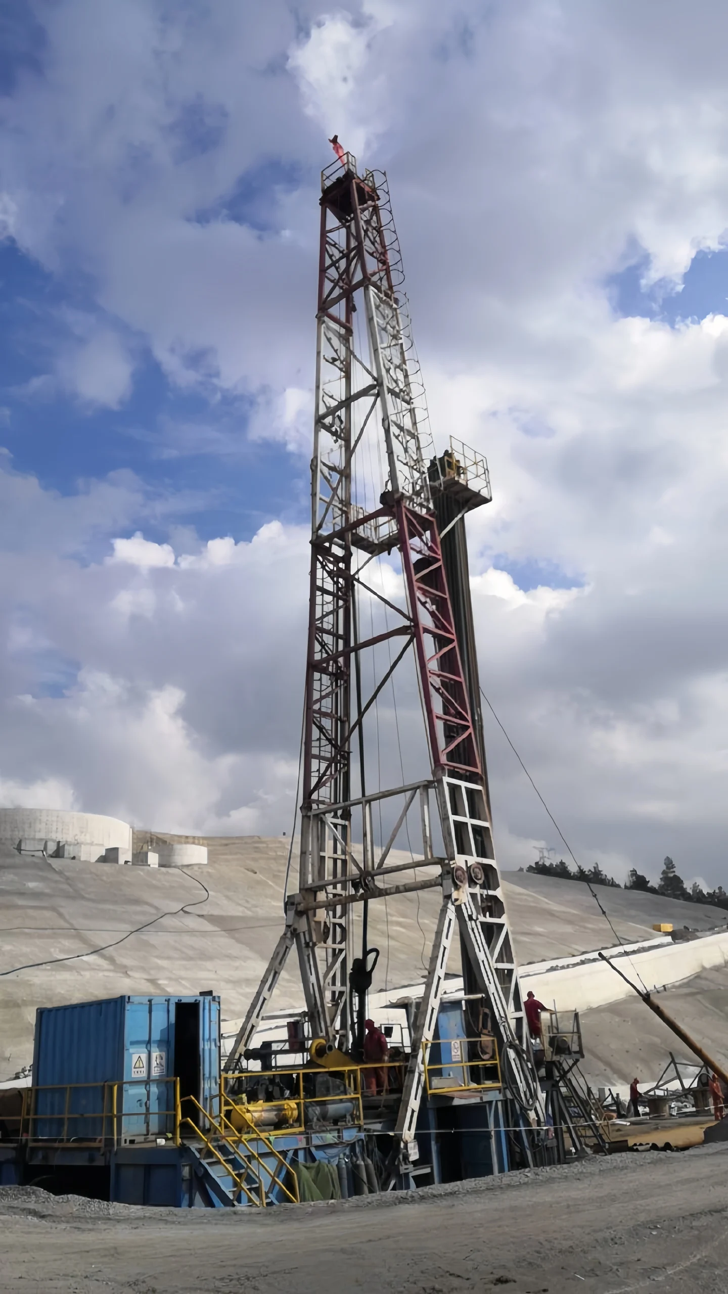
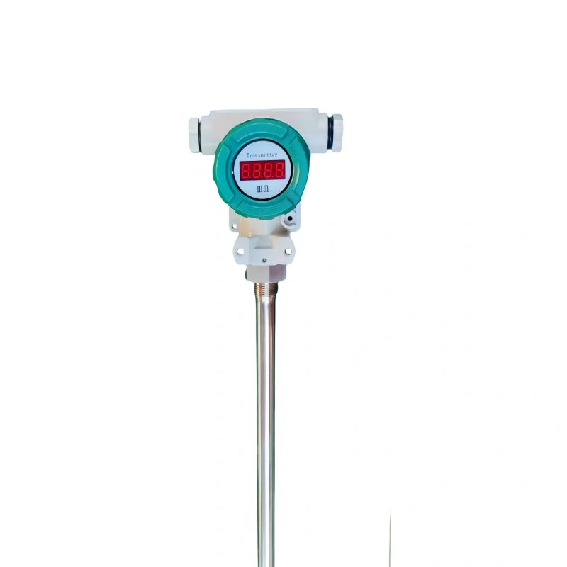
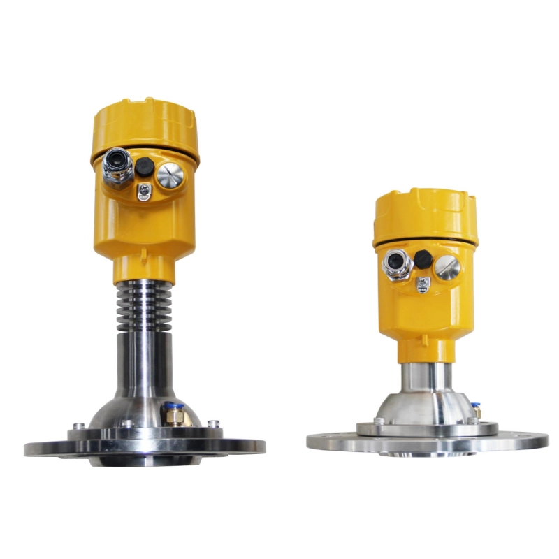
Rivers have relatively small areas. Staff can directly measure water levels using level meters on the banks. We have ultrasonic level meters and radar level meters available.

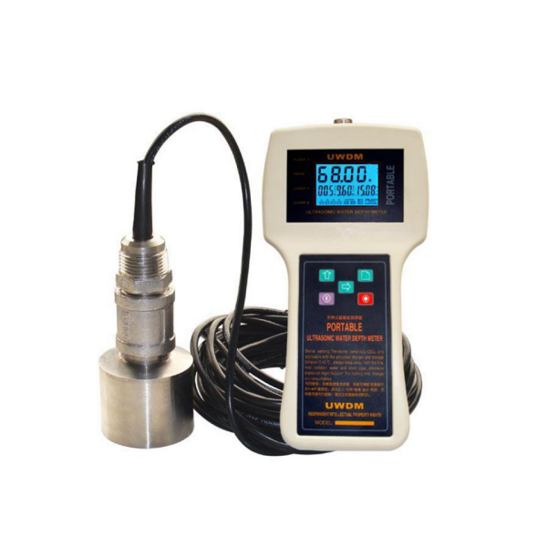
Lakes have relatively large areas. Staff may need to travel by boat to the lake for measurements. We offer portable ultrasonic depth sounders. Their range can be customized. Generally, they can measure up to 300 meters.

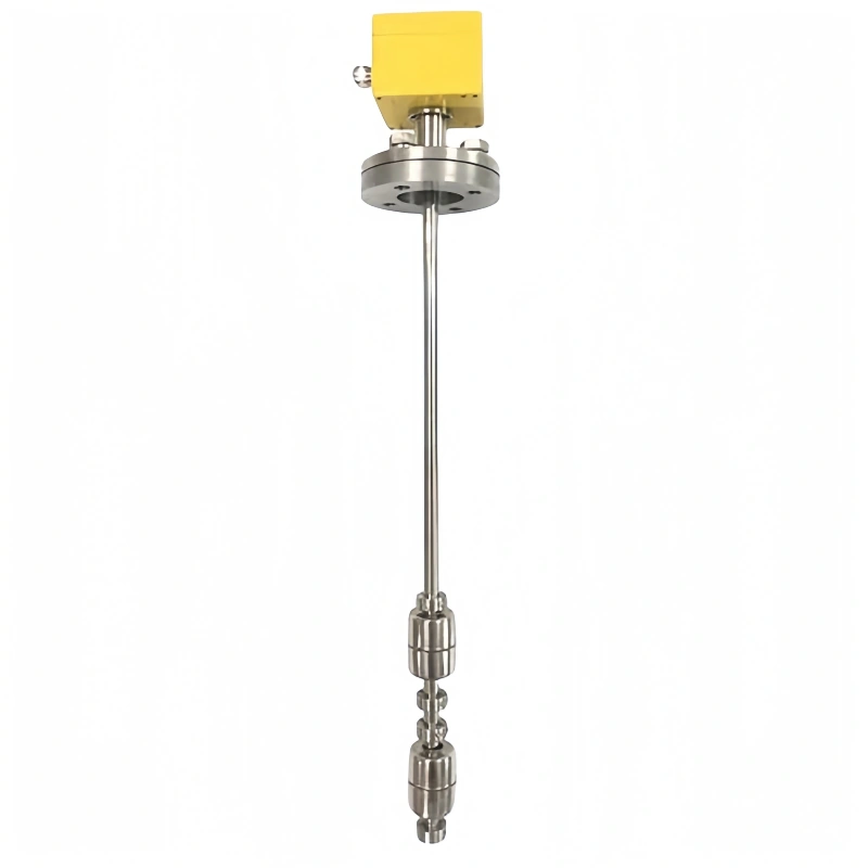
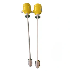
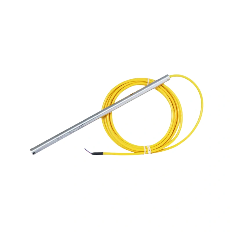
Wells have a much smaller area. We typically use deep well level sensors to measure the level in deep wells. The sensor is submerged underwater. It triggers a continuous signal through changes in water pressure. It automatically records data and displays the depth. Our products support a 2000-meter range. They are suitable for long-term monitoring and high-temperature environments.

All in all, whatever level of measurement you need, we have perfect products to meet your requirements. Please contact us now and let our professional engineers support a measurement solution for you.

Deep well submersible level meter; deep well water level measuring instrument automatically records water level data.

There is a method for calculating the average river depth.

The arithmetic mean method is the simplest calculation method. It is obtained by summing the water depths at all measuring points in the river, then dividing by the number of measuring points.

The specific formula is:
Average water depth = (H1 + H2 + ... + Hn) / n,

where,
H1, H2, ..., Hn is the water depth at each measuring point,

n is the total number of measuring points.

The meter method is the most basic and intuitive method of water level measurement. This method uses a graduated meter. The river level is determined by directly reading the scale. To reduce errors, multiple measurements are usually taken, and the average is used as the final result. Some electronic level meters, such as ultrasonic level meters, float level meters, and radar level meters, can directly display the river water level on a screen.

The buoy method is a simple and easy method for measuring river flow. Two buoys are placed in the river channel, one upstream and one downstream. A timer records the time it takes for the buoys to travel from upstream to downstream, and the flow velocity and discharge are calculated based on the distance between the two buoys. This method is suitable for rivers with slow-moving, calm water.

The water level-velocity method is a method for measuring river flow using water level and flow velocity. A water level meter and a velocity meter are placed in the river channel. They measure the water level and flow velocity, respectively. The discharge is then calculated using a built-in formula. It is always used in rivers with faster flow and larger surface fluctuations.

Based on Sino-Inst's experience in level measurement, radar level meters offer the highest measurement accuracy, with an error of only a few millimeters.

In short, precision measurement of river water levels can prevent floods and droughts.
By measuring accurate river water level values, we can take appropriate measures to address changes in water level. If you are still choosing how to measure river water levels, please feel free to contact us. Sino-Inst is your best partner for river water level management. We have experts with deep expertise in river water level measurement. We can provide you with a free customized river water level management plan. Contact us now for a free quote!

Welcome To Share This Page:
Product Categories
Latest News
Get A Free Quote Now !
Contact Form Demo (#3)

Related Products

Related News

Ultrasonic level switches can measure liquid levels in tanks and bins. Due to the non-contact measurement, level switches can be

Nowadays, guided wave radar level sensors have been widely used in the petroleum, chemical and other industries. It can measure

A capacitive level sensor, also known as a capacitive level meter. It measures liquid level by converting changes in the

With the advancement of technology, sensors have become an integral part of equipment in industrial. And the level sensor has

There are many different technologies for level measurement. For example, differential pressure level meter. capacitive level meter. ultrasonic level meter,

There are many ways to measure water level: water level meter, stainless steel ruler, etc. If you don’t know how

Compressed air is very common in industrial processes. Measuring the pressure of compressed air can ensure the safety of operators.

What is an Ultrasonic Clamp-On Flow Meter? Ultrasonic flow meter is a non-invasive flow sensor used to measure the volume

What is a pressure sensor? A pressure sensor is an electronic device that measures the pressure of a gas or

Scroll to Top

Get A Free Quote Now !

Contact Form Demo (#3)